
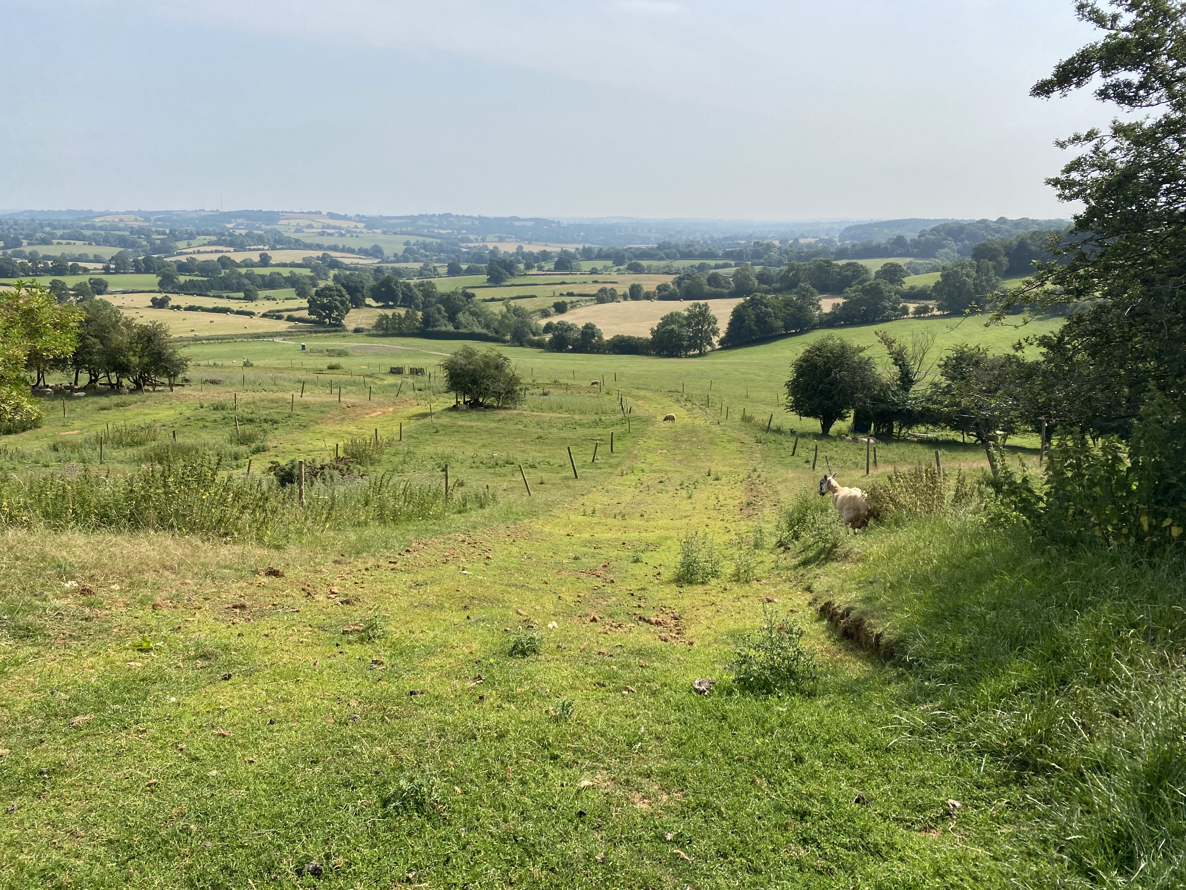
Arbury Hill
Arbury Hill is 225 m (837 ft) tall and is the highest point in the county of Northamptonshire. Located 9 km southwest of the town of Daventry, the slopes sits on a drainage divide between three of the major catchment areas: the River Nene (to the north, south, and east), the river Cherwell (as it feeds into the Thames to the south-west), and to the River Leam (which feeds the River Severn, to the west and north-west).
On the summit of the hill are the remnants of an Iron Age hillfort. It is only visible in the form of a square ditch and embankment stretching 200 metres across.
Would you like to take on the challenge of climbing the highest hill top in every county?
Log your progress by submitting field reports
and share your adventures.
| landscapeHeight | language Country | trip_originRegion |
|---|---|---|
| 225 m (837 ft) | England | Northamptonshire |
| gps_fixedLat/Lng | placeGrid Ref | mapOS Map |
| 52.22439957,-1.21061803 | SP 5401 5876 | 206: Edge Hill & Fenny Compton |