
Beacon Hill
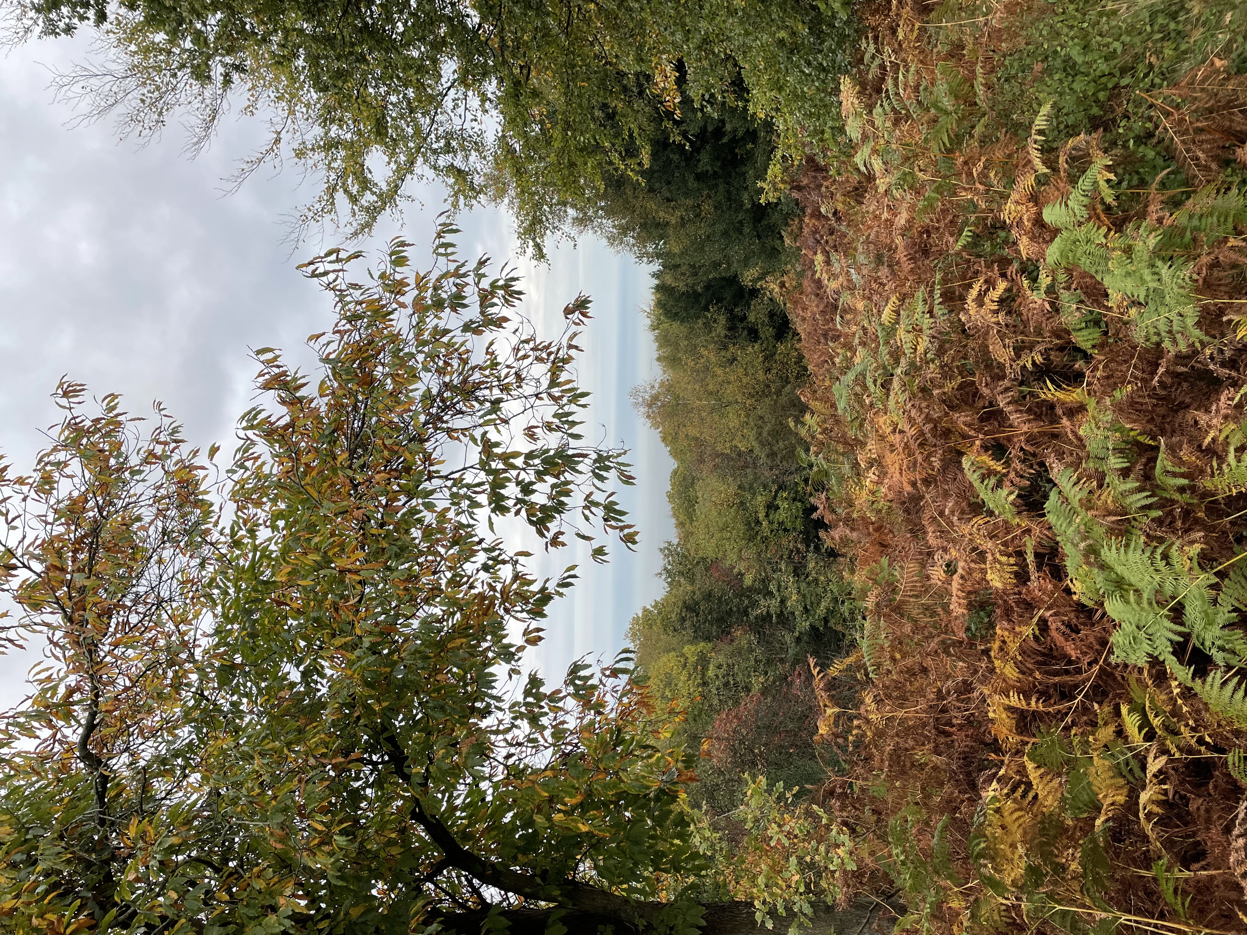
With a height of 105 m (344 ft), Beacon Hill is the highest point in the county of Norfolk. The hill is part of Cromer Ridge, a ridge of old glacial moraines, thought to have been the frontline of the ice sheet during the last ice age.
The area is sometimes known as the Roman Camp, although no evidence of Roman occupation has been found on the site. The name is believed to have been concocted by cab drivers during the nineteenth-century to make it more alluring to tourists.
The hill is located approximately 0.7 miles from the village of West Runton. You can make the ascent to the summit from here.
Would you like to take on the challenge of climbing the highest hill top in every county?
Log your progress by submitting field reports
and share your adventures.
| landscapeHeight | language Country | trip_originRegion |
|---|---|---|
| 105 m (344 ft) | England | Norfolk |
| gps_fixedLat/Lng | placeGrid Ref | mapOS Map |
| 52.92580032,1.24684322 | TG 1834 4141 | 252: Norfolk Coast East |