
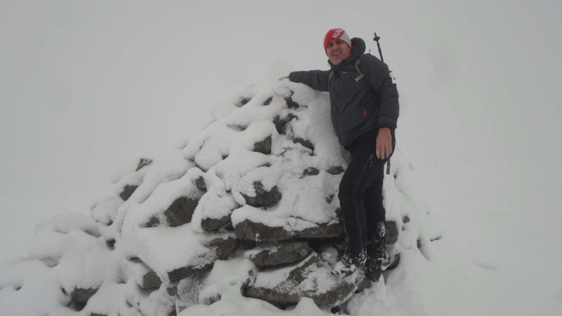
Mickle Fell
With an elevation of 788 m (2,585 ft), the distinctive Mickle Fell mountain sits within a large area of boggy moorland in the Pennines. It is the highest point in County Durham. The route to the summit requires a long hike regardless of your chosen route.
The summit falls within the Warcop Training Area, one of the largest military training areas in the UK. Access days are limited to times when live firing is not taking place. If you see red flags flying, do not enter the area. More information on firing days can be found using the following link below
(www.gov.uk/government/publications/warcop-access-times)
Would you like to take on the challenge of climbing the highest hill top in every county?
Log your progress by submitting field reports
and share your adventures.
| landscapeHeight | language Country | trip_originRegion |
|---|---|---|
| 788 m (2,585 ft) | England | Yorkshire North Riding |
| gps_fixedLat/Lng | placeGrid Ref | mapOS Map |
| 54.61560059,-2.30276945 | NY 8054 2453 | OL19: Howgill Fells & Upper Eden Valley |